About

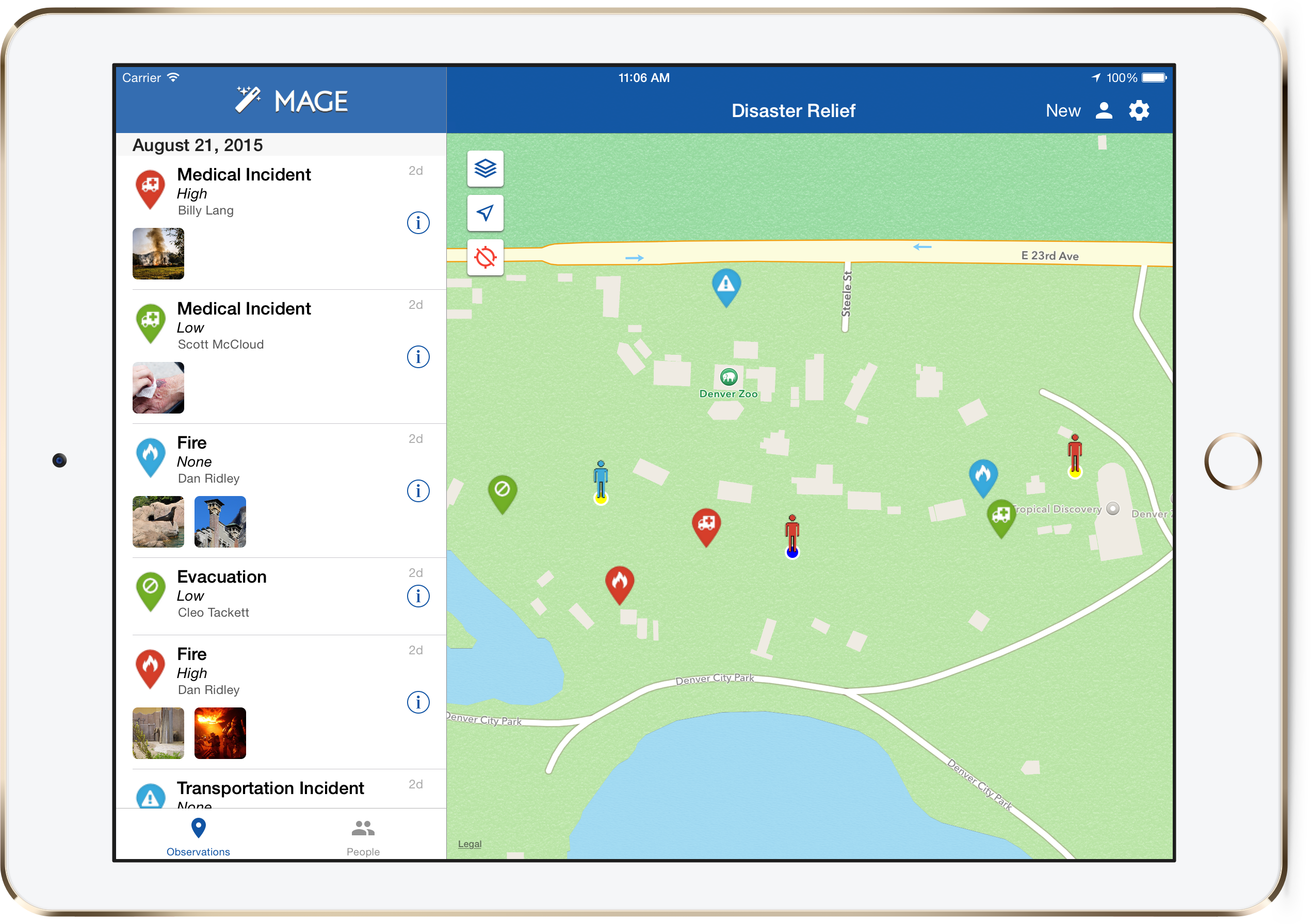
MAGE provides a dynamic capability for rapidly deploying a mobile situational awareness capability in secure environments; that supports low-bandwidth and disconnected users. By leveraging a service based architecture it has the ability to integrate with existing command centers and common operating pictures or stands alone as a full mission ready solution. MAGE provides users the ability to create and share observations (including attached videos, photos, and audio recordings) in the field using a mobile device. Additionally, the data collection form can be easily customized to suit the mission at hand. MAGE also supports the reporting of field agent’s locations at regular intervals to a central server (this is optional and can be turned off in situations where it is not needed).
The MAGE App was developed at the National Geospatial-Intelligence Agency (NGA) in collaboration with BIT Systems. The government has “unlimited rights” and is releasing this software to increase the impact of government investments by providing developers with the opportunity to take things in new directions. The software use, modification, and distribution rights are stipulated within the MIT license.
You can find the MAGE source code on GitHub:
MAGE Server